Open data
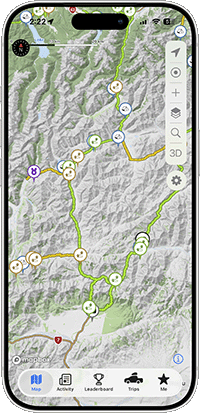
The water crossings and gates shown on tracks in Overland Navigator come from OpenStreetMap, filtered and checked against our tracks, with a few added by our team where OpenStreetMap is missing them. That layer is available here under the Open Database License (ODbL) 1.0.
Map data © OpenStreetMap contributors.
Downloads
Water crossings and gates on free tracks
Water crossings and gates on all tracks
Download (Requires an All Access sign in)
What's in the files
One point per crossing or gate, with kind (water_crossing or gate),
name where there is one, locked for gates known to be locked, and source:
openstreetmap (with its osm_id) or overland_navigator for ones we added.
The files are rebuilt from the same data as the app, so they change as tracks and OpenStreetMap do.
Our tracks, campsites, interest points and other data items are not open data, and are not included in these files.